
picure caption button
HPD at your service

Issued by City staff primarily to gain compliance with the Hayward Municipal or State Codes, Ordinances and regulations in a timely and efficient manner, as well as to protect the public health, safety and welfare of its citizens.
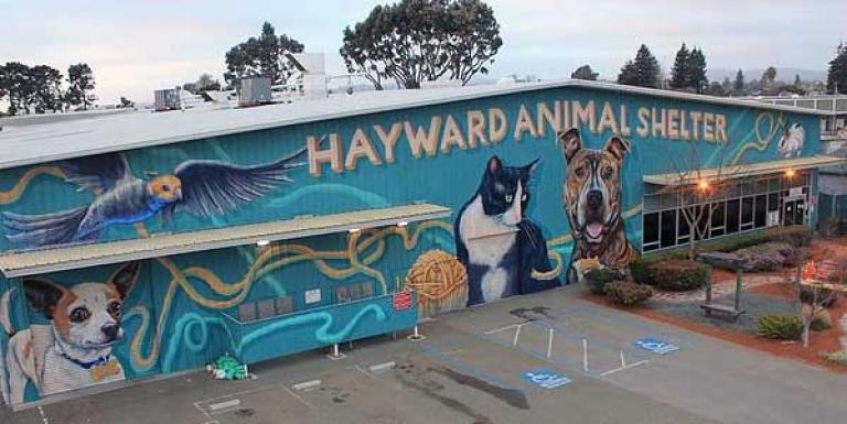
Hayward Animal Services provides shelter and field services for the City of Hayward. The Hayward Animal Shelter is open for adoptions, turning in stray animals, recovering lost pets and other services.

Learn how to schedule a hearing for your towed or impounded vehicle, including steps to get started.
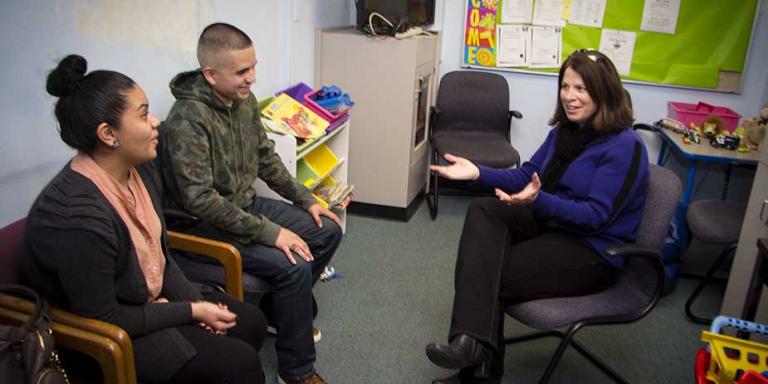
The Hayward youth diversion program has been hailed as one of the most unique models of law enforcement-counseling partnerships in the state. Police Officers and professional counselors work side by side providing services to children, youth and families.