


Feedback sought on draft sea level rise strategy
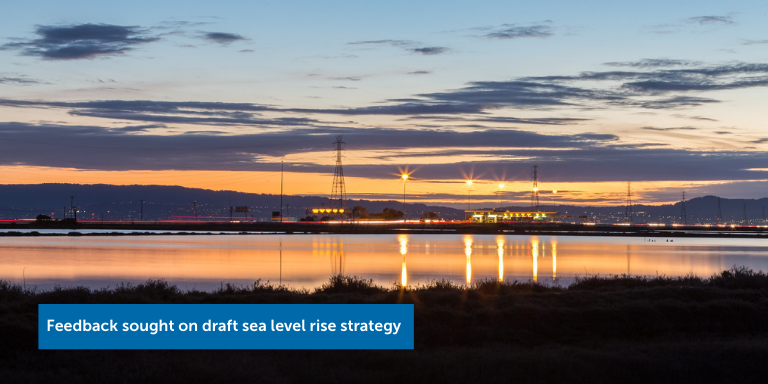
A draft strategy for responding to the threat rising sea levels pose to the Hayward shoreline and adjacent natural areas, recreational features and critical infrastructure is available for public comment through Dec. 1.
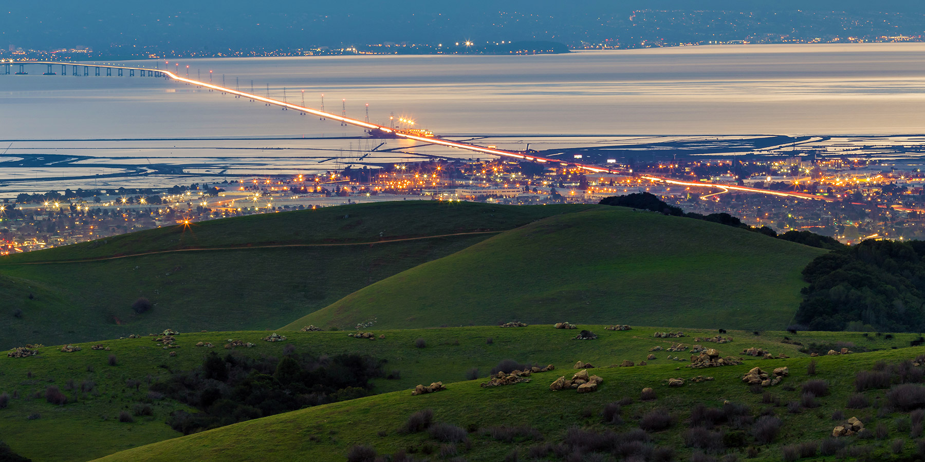
The draft Hayward Regional Shoreline Adaptation Master Plan calls for the phased construction of a Line of Protection made of new Federal Emergency Management Agency-certified levees, the raising of existing levees, and new resilience-building habitat, tidal marsh and wetland restoration and enhancement projects stretching from San Lorenzo Creek to the State Route 92 bridge approach.
The plan aims to protect an array of water treatment facilities, flood-control pump stations, closed landfills, energy plants, private industrial development and Hayward Executive Airport, as well as to provide for the preservation of natural habitat and the adaptation and relocation of certain recreational amenities, including portions of the San Francisco Bay Trail.
The plan anticipates sea levels on San Francisco Bay to rise two to seven feet over the course of the remainder of the 21st Century—a phenomenon that is the result of thermal expansion of the oceans due to higher water temperatures and the melting of glaciers and grounded ice caps.
The plan is a project of the Hayward Area Shoreline Planning Agency, a joint powers authority made up of the City of Hayward, the Hayward Area Recreation and Park District and East Bay Regional Park District. To learn more, read the plan and provide feedback, visit the project page here on the City of Hayward website.