-
Discover
-

Look Deeper
People throughout the Bay Area and beyond are quickly discovering what makes Hayward such an exceptional place to live, work and play.
-
-
Residents
-

Welcome home
From the peaks of the eastern hills to the city's pristine shoreline, 150,000 people call Hayward home and nearly 65,000 pursue their education in the Heart of the Bay. Find the resources you need here.
-
-
Business
-

Where opportunity lives
Let's build something great together.
Today's Bay Area is arguably the most competitive business environment in the United States. We get that. A "business friendly" location isn't enough; you need a partner who shares your goals. Luckily, you picked Hayward.
-
-
Services
-

Find what you need. Fast.
Chances are, you're not here to hang out. When you visit our website, you're trying to get something done, like report graffiti, pay your water bill or find out how to get a building permit. We're working hard to make the services we provide accessible, understandable and easy to use.
-
-
Your Government
-

Working for You
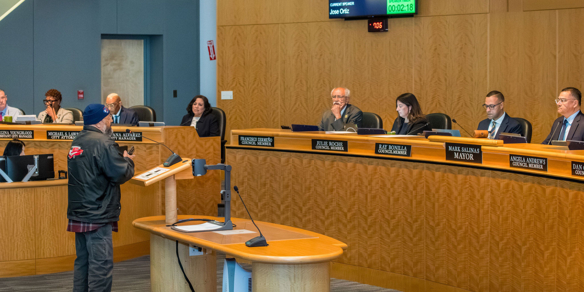
Our council-manager form of government combines the strong civic leadership of elected officials with the strong managerial experience of an appointed city manager. Beyond all else, we are a service organization, and we are here to serve you, the public. We're doing our part to drive Hayward forward.
-
-
Your Environment
-

Your Hayward Environment
We need everyone's involvement to protect and strengthen Hayward’s environment. This site is a one-stop shop for the resources you need to go green at home, at work, and in your community. Thank you for everything you do to keep Hayward great for future generations!
-


