Geographic Information System Tool & How to Opt Out
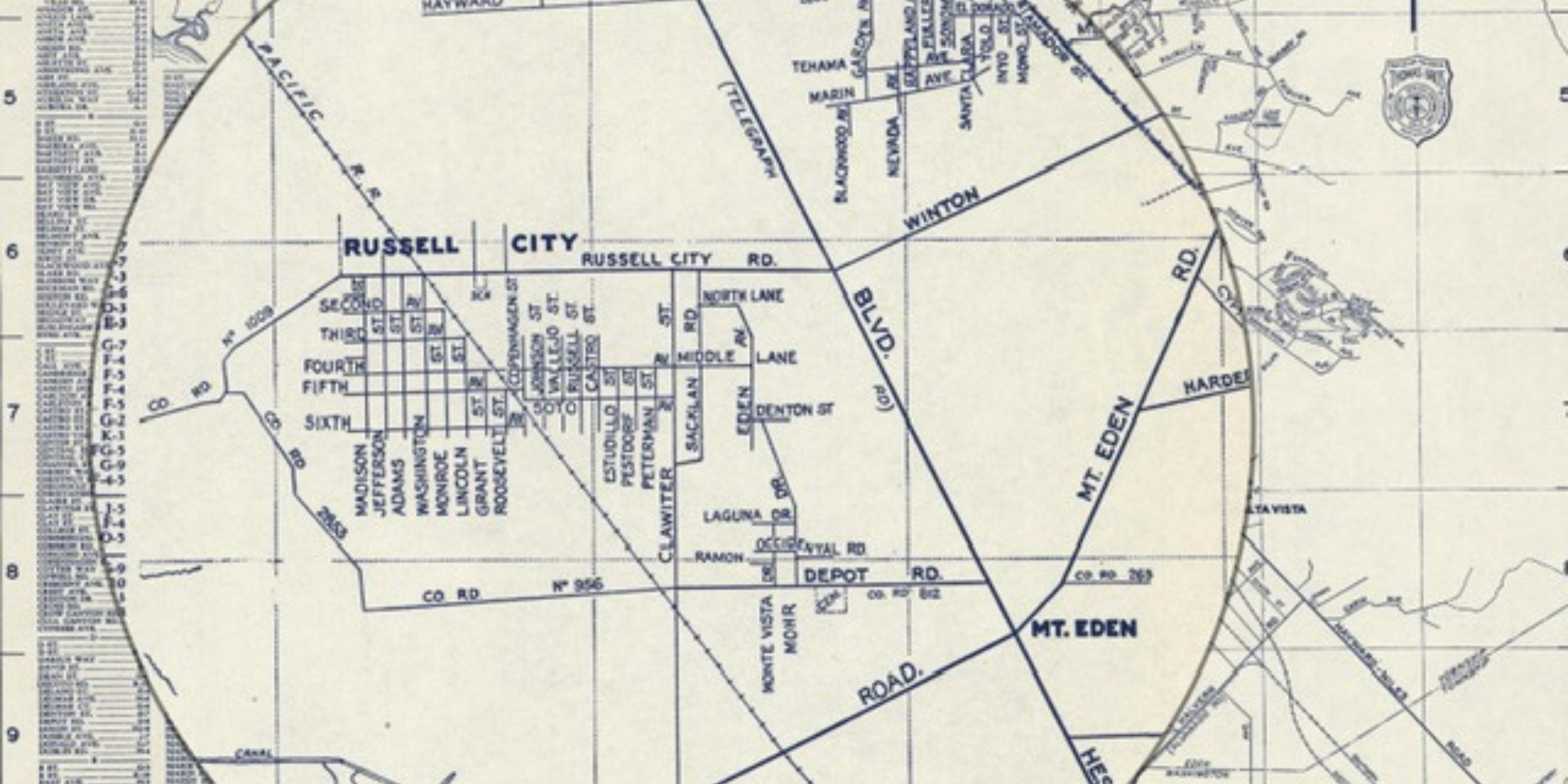
About the Geographic Information System Tool and How to Opt-Out:
The City of Hayward is developing a GIS tool based on that suggestion which would show resident names associated with historic parcels, along with the names of supporting documents. The information came some self-submissions of documents as well as pulling public records from the County of Alameda.
The GIS tool would not be conclusive as there are gaps in the public records. Russell City residents who were renters are likely underrepresented as there are limited public records.
Once complete, this tool could be a way to crowdsource information that could be added to fill in gaps.
If you would like to opt-out of your or your family’s information being included on this GIS map, please use this form. As the tool is finalized, it will be made accessible to the public on the Russell City Reparative Justice Project webpage.
Opt Out of Your or Your Family's information Being Shared
Examples of the GIS Tool information layout:
Current Alameda County parcels over 1940 Assessor map:
Russell City lots over 1954 Aerial photo:
Russell City lots & Alameda County parcels over 2020 Aerial photo:


