
Image
Vehicle Miles Traveled
Vehicle miles traveled (VMT) is a measure used extensively in transportation planning for a variety of purposes. It measures the amount of travel for all vehicles in a geographic region over a given period of time, typically a one-year period. It is calculated as the sum of the number of miles traveled by each vehicle. Use this map to visualize several VMT scenarios throughout the City of Hayward.
October 29, 2020
Image
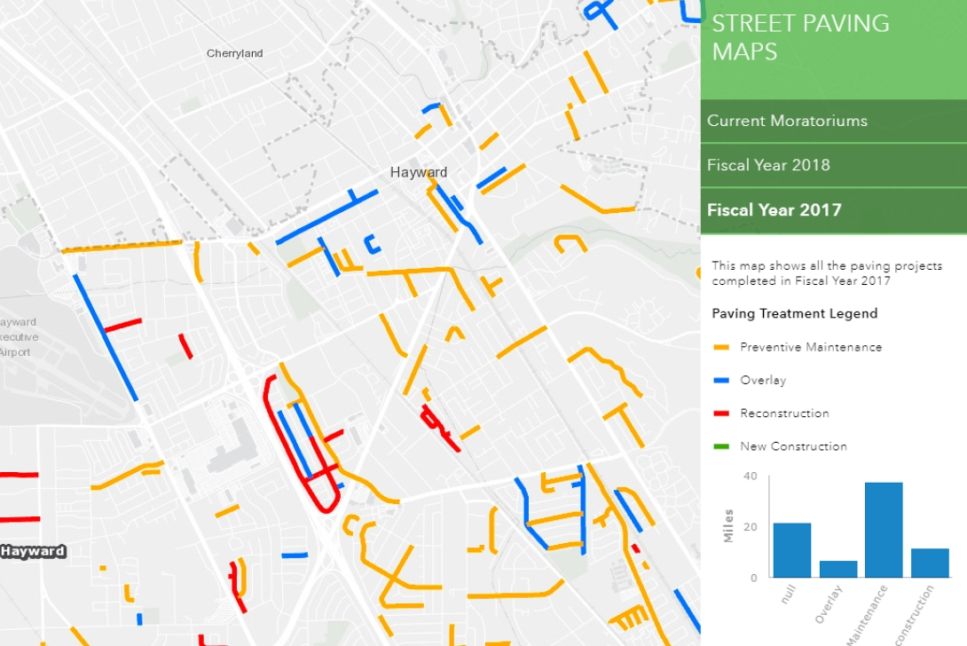
Pavement Moratorium and Street Paving History
View our map detailing the history of street paving. See what streets are currently under moratorium and check the pavement work done by fiscal year.
Updated on August 30, 2021
Hayward Streets Explorer
The Hayward Streets layer has more than just names and addresses. Take a look at some of the other attributes that we track in our GIS street layer.
updated on Sept 20, 2017
Image

Bicycle Network (Routes, Paths, Lanes)
The Hayward Bicycle Route System includes multiple types of bicycling infrastructure, including off-road paths (Class I), bicycle lanes (Class II), and low-traffic roads (Class III). View the data in a web map, or download the data from our open data portal to create your own application.
Updated on Aug 31, 2017